Mapo videos

- Page 12
Thousand Character Classic - Chinese Poem - books cover of Thousand Character Text practice chinese by book
PremiumPremium
South Korea Asian country 3D animated text bold lettering in repeated stacked rows styled with the national colours and patterns of the flag waving in the wind world emblem banner on dark background
PremiumPremium
3d terrain map Malawi
PremiumPremium
Aerial View Of Illa De Creba With Mussel Seafood farms in Ria Muros y Noya Galicia Spain
PremiumPremium
Cape D'Aguilar, Hong Kong: Dynamic drone flyover that travels over coastline and between two small islands
PremiumPremium
Outstanding places of Honolulu, Oahu, Hawaii, USA. Aerial perspective on verdant Koko Head, Hanauma Bay and dense residential area.
PremiumPremium
Aerial view of colorful house of village on the mountain slope in slightly foggy weather
PremiumPremium
Map of China and surrounding regions
PremiumPremium
Drone fly pristine island landscape of Koh Nang Yuan beach Koh Phangan Thailand travel destination, white sand beach around islets, skyline background
PremiumPremium
An Aerial View Shows Urban Traffic In The City Of Dalat Vietnam
PremiumPremium
Aerial view across a large modern hall toward Gandantegchinlen Monastery's golden-roofed temples and open square, with apartment blocks and brown hills on the horizon.
PremiumPremium
Flight over a small island in the sea of Cortez
PremiumPremium
Drone shot of mining town of Taxco, Guerrero Mexico
PremiumPremium
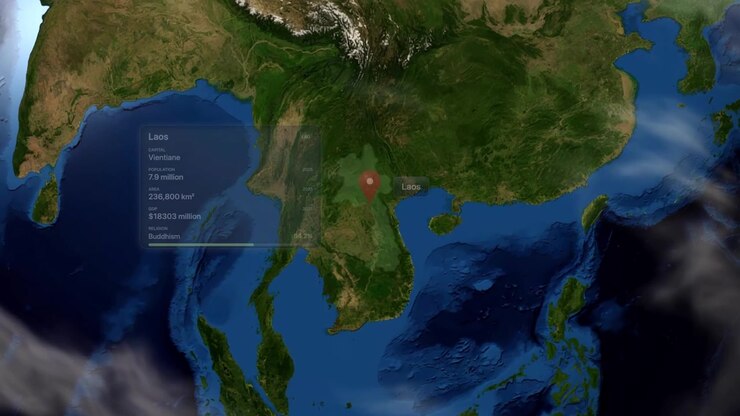
Satellite view zooms from outer space into Laos with highlighted borders and infographic data overlay. Includes NASA public domain imagery.
PremiumPremium
Aerial View of Tropical Island and Coastline
PremiumPremium
Artistic Map of China
PremiumPremiumGenerated by AI
Digital animation zooms from space into China, pinpointing Jiangmen with precise geographic location data
PremiumPremium
Aerial drone view of the Yasaka Shrine at sunset in Kyoto, Japan
PremiumPremium
Colorful wide aerial of Kyoto with temples, mountains, and city skyline in Kyoto, Japan
PremiumPremium
Aerial drone footage of a winding mountain road situated between steep rocky cliffs and the ocean. Captured at Bukit Tekol, featuring the dramatic coastline of South Natuna, Indonesia.
PremiumPremium
Aerial drone view of Highway 1 winding along steep green cliffs above turquoise water and offshore sea stacks in Big Sur.
PremiumPremium
Abstract Motion Graphics with Overlapping Red and Blue Shapes
PremiumPremiumGenerated by AI
Taiwan, aerial drone of old town Jiufen in Ruifang district, famous landmark tourist village on the mountain in Taiwan on the east coast of the island facing pacific.
PremiumPremium
Skyline Aerial view in Nagano
PremiumPremium
Aerial View of Traditional Pagoda on Island in Lake
PremiumPremium
Close-up of the country word Japan on a world map with the detailed name of the capital city
PremiumPremium
Densely populated area in the valley among the mountains in Honolulu, Hawaii, USA. View on the green slopes of the Diamond Head Crater. Aerial perspective.
PremiumPremium
3d terrain map Luxembourg
PremiumPremium
Satellite view 3D animation zooming from outer space into Gladstone, Australia with map pin. Includes NASA public domain imagery.
PremiumPremium
Scenic Landscape Of Karst Mountain At Sunrise In Yangshuo County, China - Aerial Drone Shot
PremiumPremium
Digital globe rotates and zooms into Hanoi, Vietnam, displaying location markers and demographic information
PremiumPremium
Aerial view away from the Haedong Yonggungsa Temple, summer in Busan, South Korea
PremiumPremium
Satellite animation zooming from outer space into East Asia, pinpointing Sungnyemun Gate in Seoul. Includes NASA public domain imagery.
PremiumPremium
Satellite view camera zooms from space directly to Bandar Seri Begawan, Brunei with map pin. Includes NASA public domain imagery.
PremiumPremium
drone from mullet beach in the city of bombinhas santa catarina brazil - praia da tainha
PremiumPremium
Hong Kong Sheung Sze Wan Beach and Tai Hang Hau Village, Aerial view
PremiumPremium
Close-up view of a map showing North Korea and surrounding regions
PremiumPremium
Satellite view camera zooms in from space to pinpoint Malang, Indonesia with pin marker. Includes NASA public domain imagery.
PremiumPremium
Satellite camera zooms from deep space into planet Earth, pinpointing Saraburi, Thailand with a marker. Includes NASA public domain imagery.
PremiumPremium
Ascending pullback over Zhangjiajie township at dusk, rising from a boulevard to reveal the illuminated district with rivers on both sides and karst mountains beyond, Wulingyuan, Zhangjiajie, Hunan.
PremiumPremium
Mount Crested Butte Colorado drone aerial fall Elk Range Rocky Mountains Crested Butte ski resort town autumn Quaking colorful Aspen Trees blue skies clouds Coal Creek Kebler Pass forward circle
PremiumPremium
Aerial view of Aoos Springs Artificial Lake in Epirus, Greece, Hydroelectric Energy, Sustainable Infrastructure
PremiumPremium
Satellite view zooms from outer space into planet Earth, pinpointing Haikou, China with a marker. Includes NASA public domain imagery.
PremiumPremium
Montenegro drawing outline map on green screen isolated whiteboard
PremiumPremium
Largest Suspension Bridge in World, Aerial View in Ehime Japan
PremiumPremium
Aerial fly Valley and road between Autumn Colorful Mountains of Kyoto Japan, city with Fall colors, Yase Neighborhood
PremiumPremium
International tourist area in Los Muertos beach with its emblematic pier, clear water scenery
PremiumPremium
China Map
PremiumPremium
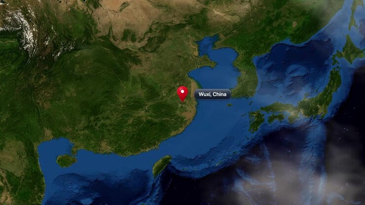
Satellite view zooming from deep space into planet Earth, pinpointing Wuxi City in China. Includes NASA public domain imagery.
PremiumPremium
A digital animation zooms from deep space into Earth, pinpointing Suwon, South Korea with text
PremiumPremium